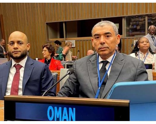
New York: The Sultanate of Oman attended the 15th session of the United Nations Committee of Experts on Global Geospatial Information Management (UNGGIM), which took place at the UN headquarters in New York, USA.
The Omani delegation was led by the Acting Chairman of the National Survey and Geospatial Information Authority at the Ministry of Defence.
The meeting addressed a variety of issues related to geospatial information management, including strengthening governance frameworks, regional committees' contributions to the global geospatial information agenda, and the function of thematic networks in furthering geospatial data projects. Discussions also addressed the future of geospatial information ecosystems.
Key topics were the United Nations Integrated Geospatial Information Framework (IGIF), the Global Geodetic Reference Frame (GGRF), and the use of geospatial data for sustainable development, climate action, and environmental applications. The session also looked at regulatory and policy frameworks, reference data management, developing technology, and the development and adoption of global geospatial standards.
Participants also discussed the function of UN Global Geospatial Information Management Centers (operating outside headquarters) in improving worldwide geospatial data governance frameworks.
The session was convened in accordance with the UN General Assembly and the Economic and Social Council's applicable decisions to allow for discussions on the planned agenda.