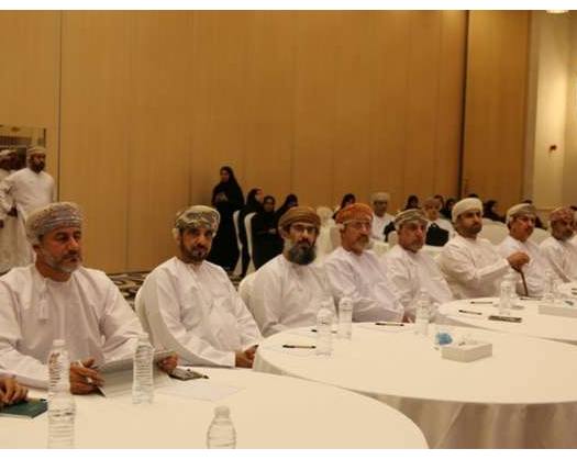
Muscat: In a collaborative effort to address flood risks, the Muscat Governorate convened a meeting with experts from the Ministry of Agriculture, Fisheries, and Water Resources. The purpose was to discuss the Ministry's vision for a consultancy services project aimed at updating and preparing flood risk maps through visual presentations.
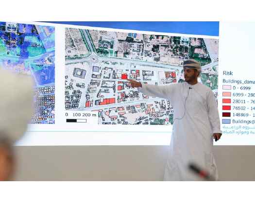
The meeting included officials from the Governorate and Muscat Municipality, several esteemed members of the Shura Council and the Municipal Council, as well as the Walis of the governorate. Dr. Mahmoud bin Mohammed Al Mamari delivered an extensive visual presentation outlining the project's objectives, phases, methodology, and examples of anticipated outcomes.
Dr. Al Mamari highlighted that the project is centered around three main objectives: identifying and mapping areas at risk of flooding, developing flood risk management strategies along with emergency plans, and creating a comprehensive guide for flood risk evaluation.
The project involves three key steps: first, analyzing rainfall and surface flow data; second, designing detailed flood risk maps; and third, formulating management plans for risks and emergencies. The goal is to implement protective measures for the most vulnerable areas by creating plans that assess the severity of flood risks. These plans will include establishing protective structures, identifying evacuation and shelter points, and providing necessary recommendations to relevant authorities. All findings will be compiled into a report titled ‘Flood Risks Evaluation Guidebook.’
This initiative was officially launched a year ago and is projected to be completed by 2026. Currently, it has achieved 54% progress across the Muscat, Dhofar, and Musandam Governorates.