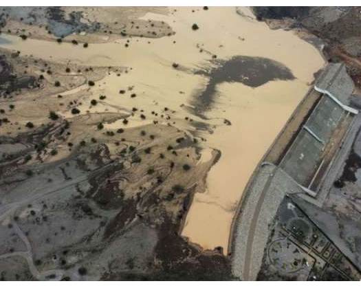
Muscat: The Ministry of Agriculture, Fisheries, and Water Resources has entrusted a specialized firm with the responsibility of developing consultancy services for the purpose of revising and preparing flood risk maps.
Furthermore, this firm is tasked with the preparation of emergency management plans aimed at mitigating flood risks across the Sultanate of Oman, spanning the years 2024 to 2026.
The objective of this project is to refine existing flood maps and encompass a comprehensive assessment of their risks across various terrains, including open plains and principal valleys, as well as regions susceptible to the formation of all water bodies within the Sultanate of Oman. The project will delineate flood zones and categorize them based on the level of risk they present, classifying them as "maximum," "medium," or "minor" danger.
These revised maps will play a crucial role in supporting the operations of the National Emergency Management Committee, thereby contributing to the preservation of lives and property in areas adjacent to valleys. Additionally, the maps will incorporate urban planning requirements that must be taken into account when allocating sites for residential or other construction projects.


