Naypyidaw [Myanmar]: An earthquake with a magnitude of 4.5 hit Myanmar on Friday, according to the National Center for Seismology (NCS).
According to the NCS, the earthquake struck at a depth of 101 kilometers.
According to a tweet on X from the NCS, the EQ of M: 4.5, On: 11/07/2025 05:56:04 IST, Lat: 25.76 N, Long: 95.26 E, Depth: 101 Km, and Location: Myanmar.
Earlier on July 7, an earthquake with a magnitude of 4. 6 rattled the area.
NCS posted the specifics of the earthquake on X, stating, "EQ of M: 4.6, On: 07/07/2025 10:40:20 IST, Lat: 24. 78 N, Long: 94.85 E, Depth: 85 Km, Location: Myanmar. "
Another earthquake measuring 4. 1 magnitude rocked Myanmar on July 3. According to the NCS, the earthquake occurred at a shallow depth of 10 km, making it prone to aftershocks.
According to a statement on X from the NCS, EQ of M: 4.1, On: 03/07/2025 06:10:48 IST, Lat: 22.01 N, Long: 95.58 E, Depth: 10 Km, Location: Myanmar.
Shallow earthquakes are often more destructive than deep ones. This is due to the fact that seismic waves from shallow earthquakes have a shorter distance to travel to the surface, resulting in stronger ground shaking, which may cause more damage to buildings and more fatalities.
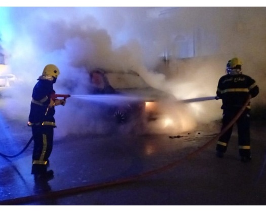
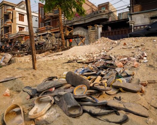
In the aftermath of the March 28 earthquakes of magnitude 7.7 and 6.4 that hit central Myanmar, the World Health Organization (WHO) cautioned of a succession of quickly increasing health risks for tens of thousands of relocated individuals in earthquake-affected regions: tuberculosis (TB), HIV, vector, and waterborne illnesses.
Myanmar is susceptible to tsunami hazards along its long coastline, as well as risks from moderate and large magnitude earthquakes.
The Sagaing Fault increases the seismic risk for Sagaing, Mandalay, Bago, and Yangon, which together account for 46% of Myanmar's population. Although Yangon is located some distance from the fault trace, its heavy population poses a considerable danger. For example, in 1903, an intense earthquake with a magnitude of 7.0 that was centered in Bago also impacted Yangon.